UKS2 – Forest School
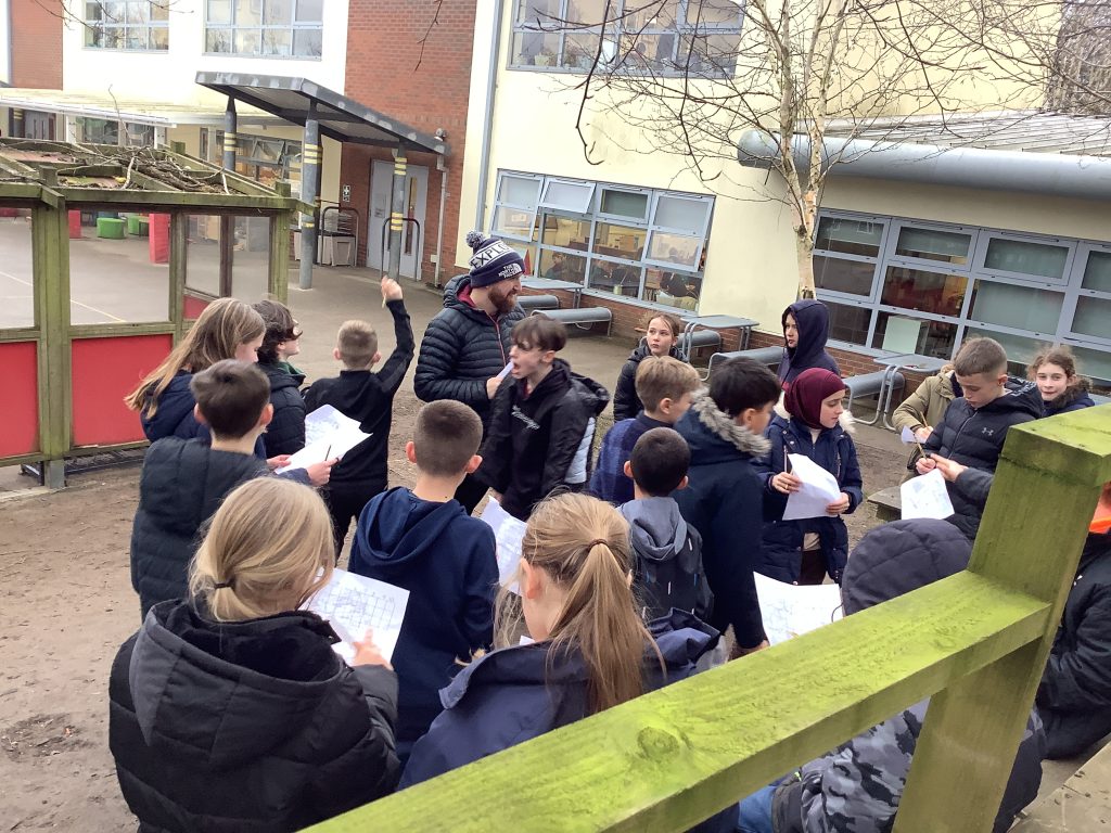
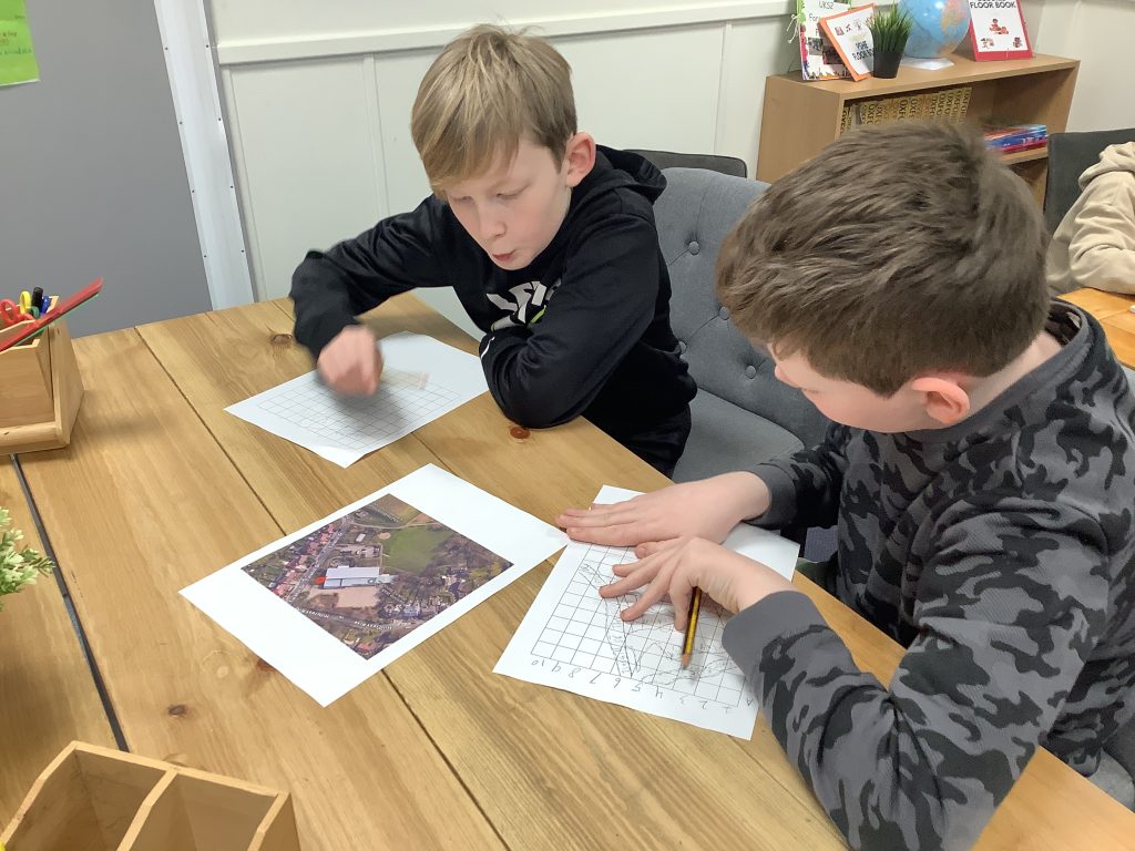
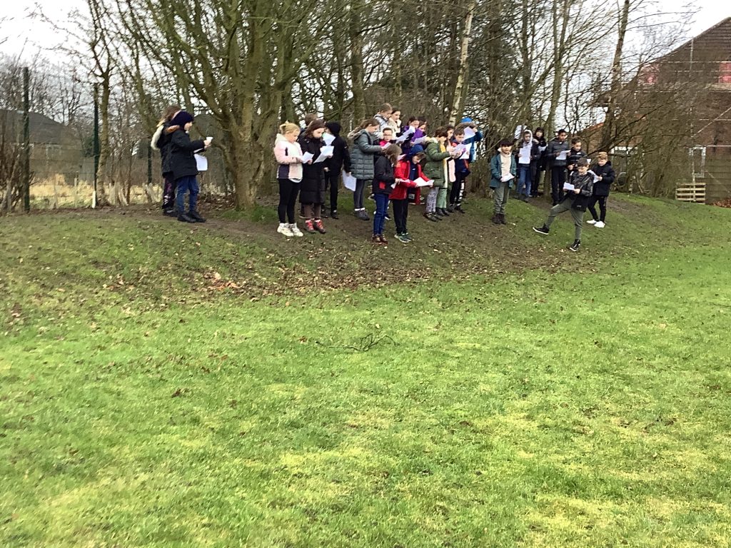
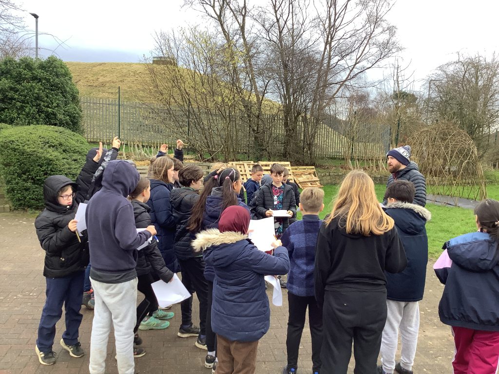
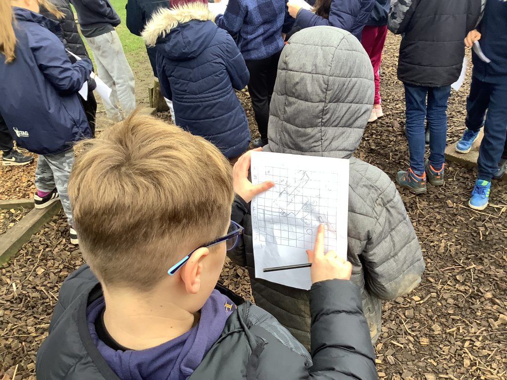
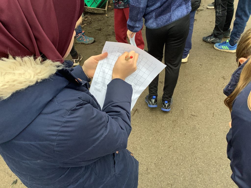
This week in Forest School, the children were putting their mapping and orienteering skills to the test. Tasked with creating their own map of the school grounds based off of a satellite image, the children had to ensure they drew their map accurately and accounted for the correct scale. Once they had done this, they then used their maps to locate different areas of the school grounds – earning points if their own map matched the correct grid reference! We had some superb efforts, with some children getting every location exact!
